ZK: is the jewel. The app is the setting that makes it shine: the whole world in your pocket, simple, fast, on any device.
The challenge The entire planet in one app. Not a toy that shows you nearby shops. A real, complete, detailed map, updated daily.
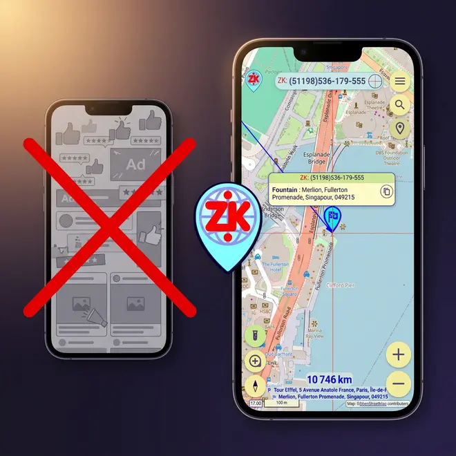
Zonkod is not a navigation app and not a business directory. It focuses on one thing: managing locations: where a place is, how to communicate it, how far it is. No ads following you, no suggested restaurants. You are not the product.
The map A real map. The whole world. Yours.
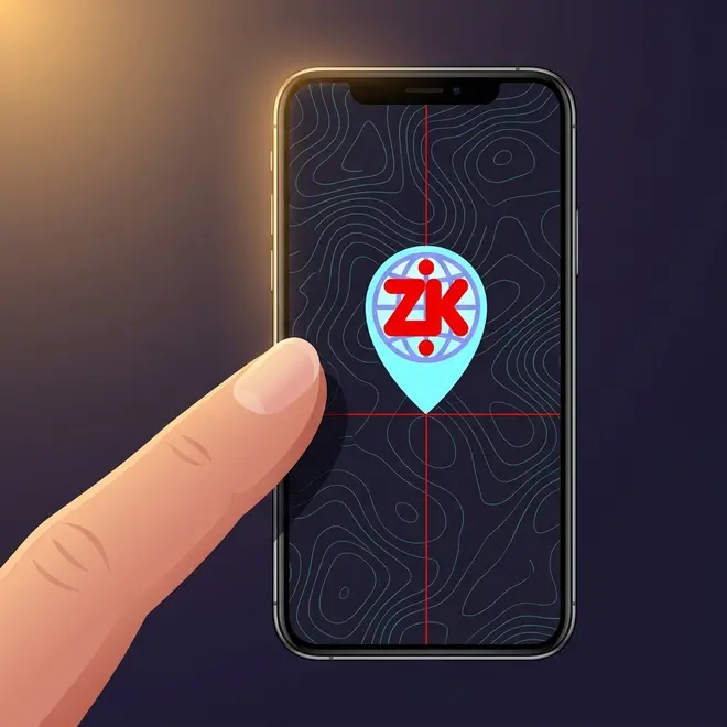
On a phone screen, your finger covers an area the size of a city block. Zonkod solves this with the graticule, a red crosshair at the center of the map. Drag the map, the crosshair stays fixed. You place a location with sub-meter precision, no matter how big your fingers are.
Zoom is continuous, from the entire planet down to a single street corner, with no steps, no jumps. And when you need to see the tiniest detail, a built-in magnifier enlarges the map center without changing the zoom level.
Pinpoint a location with sub-meter precision, even on the smallest screen.
A loupe that zooms into the center without changing the map scale.
Tiles you have seen are cached. Sailors, pilots, hikers: degraded but usable.
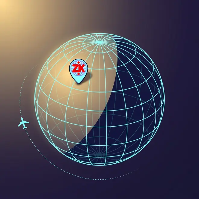
Switch to the 3D globe and watch the day/night line move in real time. Use Flight to visualize where a point sits relative to where you are, great for understanding geography at a glance. The almanac tells you sunrise, sunset, twilight, moon phases, and time zones for any date and any place on Earth.
The almanac goes deep on the sky: three kinds of twilight, solar noon, the sun's height above the horizon, day length and season. A live moon drawing shows the phase exactly as you would see it from that spot, tilted like in the real sky. Pick any date and any place: watch the midnight sun above the Arctic Circle, or check what the moon looks like tonight on the other side of the world.
See the terminator line move. Understand time zones visually.
Visualize where a place is, relative to where you are right now.
Sunrise, sunset, twilight, moon phases, time zones, for any date, any place.
A ZK: is short enough to text, say over the phone, or print on a sign. But Zonkod goes further: generate a QR code for any place and show it face-to-face, fully private, no internet needed. Or scan one with the built-in camera. Paste a QR image from your clipboard. It all just works.
Generate and scan. No internet needed. Completely private.
Paste lat/lon, Plus Codes, MGRS, UTM, addresses: Zonkod converts them automatically.
Text, voice, sign, QR code. The receiver opens it anywhere, no app needed to read a ZK:.
Hand off to Organic Maps, Waze, Google Maps, Apple Maps, OsmAnd, or Sygic.
Send a location to any app, or receive one from any app. Zonkod makes incompatible apps compatible, on any device.
Open a .zonkod file, share a photo with GPS data, or paste a link. Zonkod catches them all.
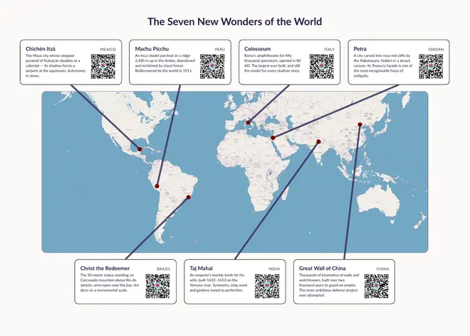
A ZK: QR code works beautifully in print: town maps, hotel cards, restaurant flyers, trail guides, anywhere a place matters. Print it once, every scan opens the exact spot. Nothing to install, nothing expires.
The Seven New Wonders of the World A printable A4 poster with one card per wonder, one scan per place. Print it, scan, travel. Open the poster (PDF) →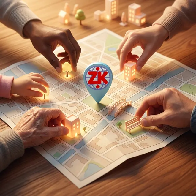
The map data comes from OpenStreetMap, collaborative and open to all. Anyone can add or improve information: a new shop, a missing trail, a corrected address. We refresh our copies daily, so the map you see is always close to live. More than 260 million locations, with a fuzzy search that finds a place even when you misspell it.
And you can read it everywhere. Place names appear twice: in the local language, and next to it in Roman letters (the A-B-C alphabet). So Tokyo shows as 東京 and Tokyo, Athens as Αθήνα and Athens. Where a place already has a well-known Roman name, we use that. You always get both.
Numbers cross every border. Whatever your language or your alphabet, you already know how to read, say, and type digits, so a ZK: needs no translation. Left-to-right or right-to-left, the number is the same.
And it runs wherever you are: on a recent phone or a five-year-old one, on Windows, macOS, Linux, Android, iOS, or simply in a web browser: always the same map, the same number, the same answer.
Both left-to-right and right-to-left. Usable by everybody on Earth.
Android, iOS, Windows, Linux, macOS, web. Full compatibility between all of them.
Lightweight, fast, fluid, even on a 5-year-old phone.
Adjustable text sizes for presbyopic and low-vision users. Clear contrast. Simple navigation.
GPS off by default. No account, no tracking. Privacy-respecting ads. Your data never leaves your device.
Distance and bearing between any two points on Earth, with a live arrow that updates as you move.
